Land Use & Planning
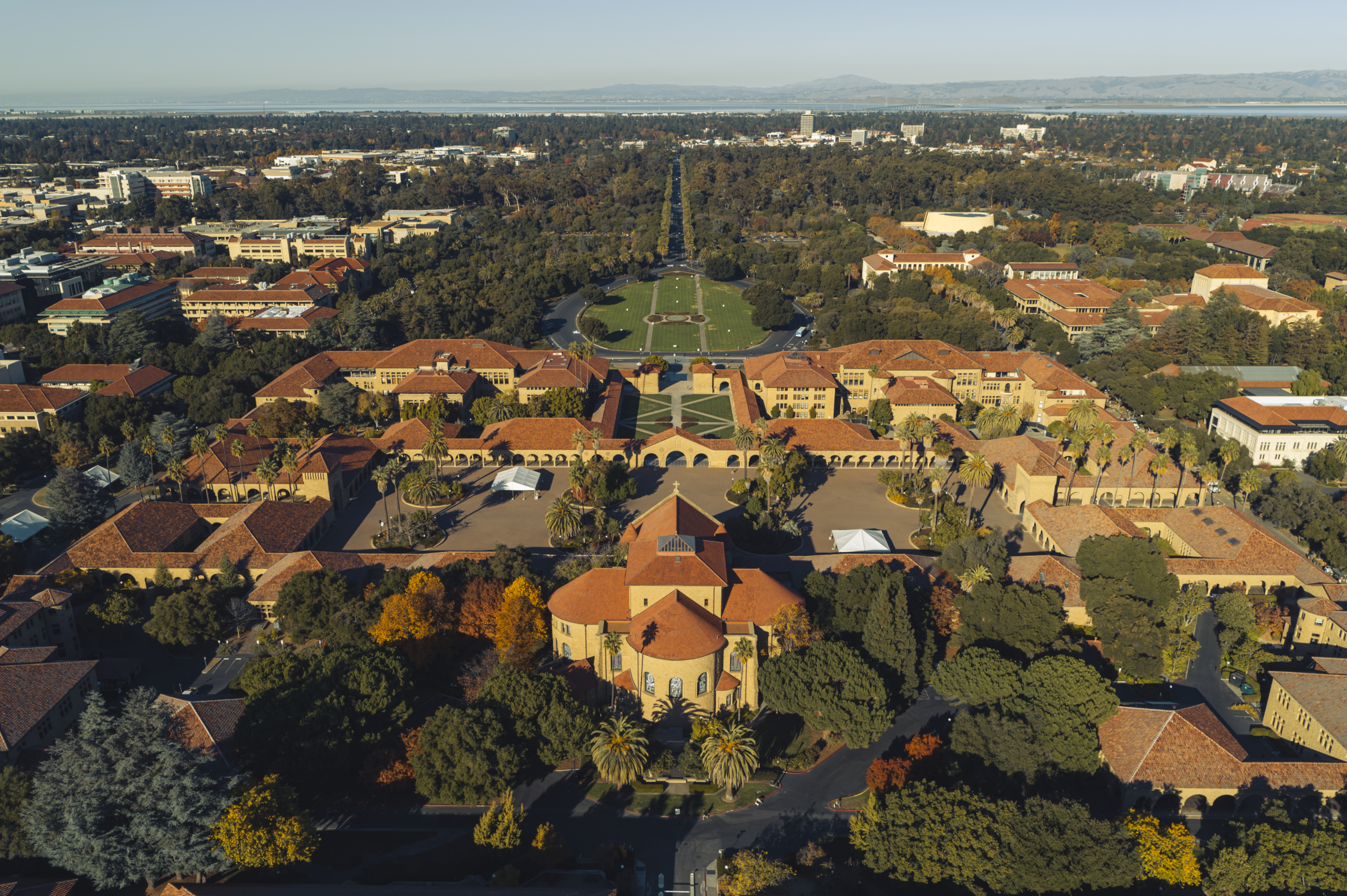
Stanford’s campus spans over 8,300 acres of academic, residential, research, and natural lands. Land use decisions shape emissions, energy demand, and climate resilience.
The university’s choices about where to build, how to conserve essential open space, and how to adapt to climate risks directly influence operational energy demand, mobility patterns, and protection of ecosystems that sequester carbon, manage stormwater, moderate heat, and reduce climate risk. As climate change brings higher temperatures, variable rainfall, and more frequent extreme events, land use planning must reduce emissions, support a resilient campus, and ensure the university can continue to fulfill its academic and research mission.
Stanford has advanced adaptation by restoring habitats through its Conservation Program, expanding green infrastructure, strengthening flood and stormwater systems, reducing wildfire risk through vegetation management, and improving community preparedness through cooling centers and emergency response capacity. Operational investments in energy reliability and backup power planning also support continuity during climate hazards affecting both on-campus and off-campus assets.
Stanford’s climate vulnerability assessment established a baseline for land-related risks across facilities and natural systems, then prioritized climate impact challenges, such as heat, drought, flooding, and wildfires, in comparison with policy development, balancing growth, and asset protection. Building on Stanford’s current climate adaptation successes, this assessment highlighted opportunities to strengthen land use policies, scale green infrastructure, protect key habitats, and optimize land stewardship for resilience. These findings now guide climate-informed planning to reduce operational risk and support the university’s long-term sustainability goals.
A Blueprint for Balance: Scaling Stanford’s Mission & Sustainability
StanfordNext is the university’s long-term plan designed to meet future academic, housing, transportation, sustainability, and infrastructure needs on existing campus lands. The plan will inform the application for a new General Use Permit (GUP), which is the regulatory framework that would authorize Stanford’s future advancements. StanfordNext supports land use decisions that prioritize compact development, housing near academic and transit centers, expanded biking and transit infrastructure, and long-term protection of conservation areas. Currently, this planning effort is in its early development stages and will be informed by ongoing community engagement channels such as open houses, advisory and focus groups, polls, and surveys.
Since 2000, Stanford has expanded its academic and research footprint on campus while cutting Scope 1 and 2 emissions by 82%, reducing vehicle trips and demonstrating that Stanford can create new academic space and build commensurate housing while reducing its emissions. Planning how and where Stanford supports new academic space is central to this plan and to reducing emissions and strengthening long-term climate resilience. The aim is to ensure key land use goals included in StanfordNext lower transportation demand, protect climate-sensitive landscapes, and guide future academic space in alignment with Stanford’s Climate Action Plan and resilience goals.